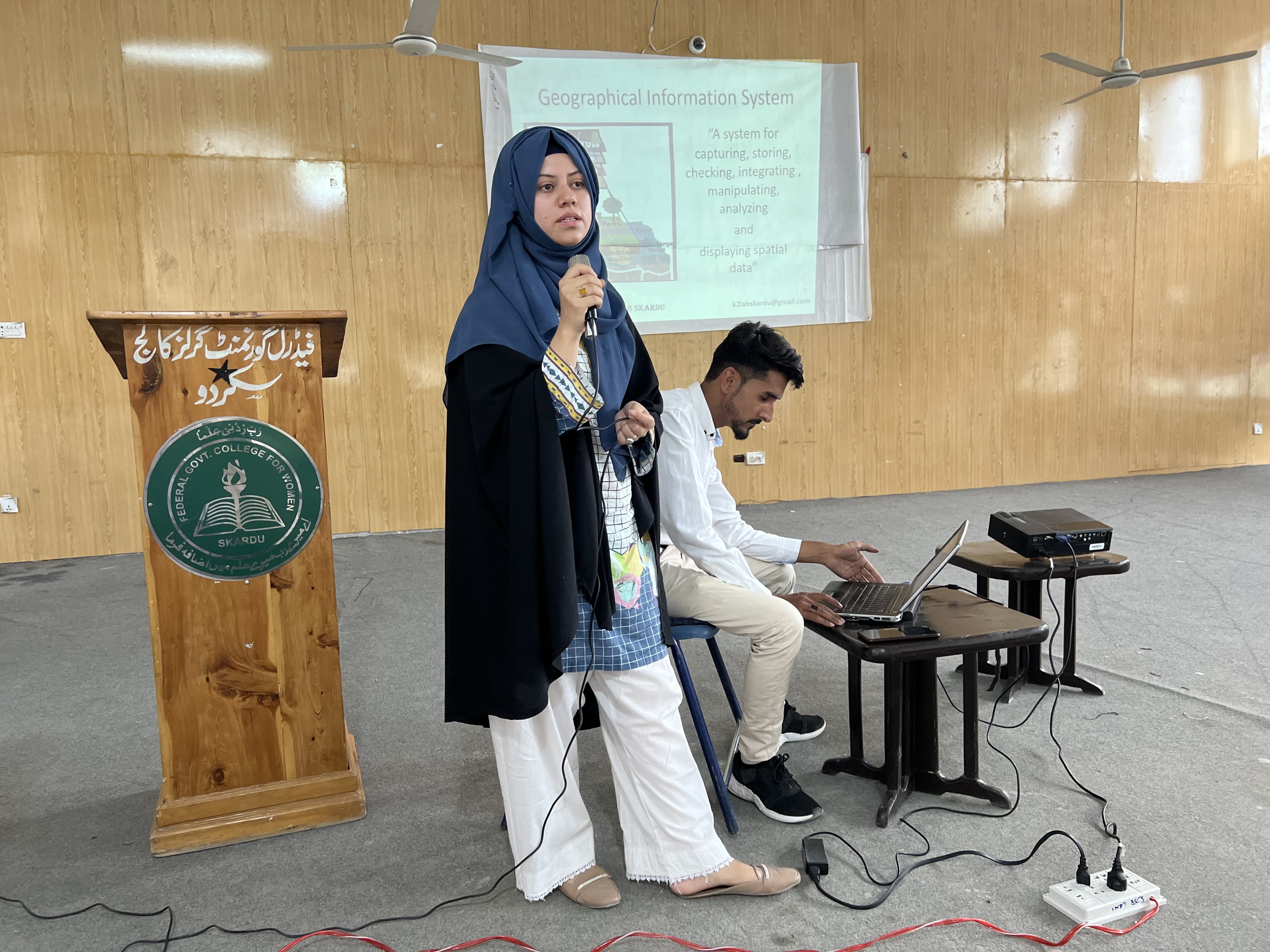
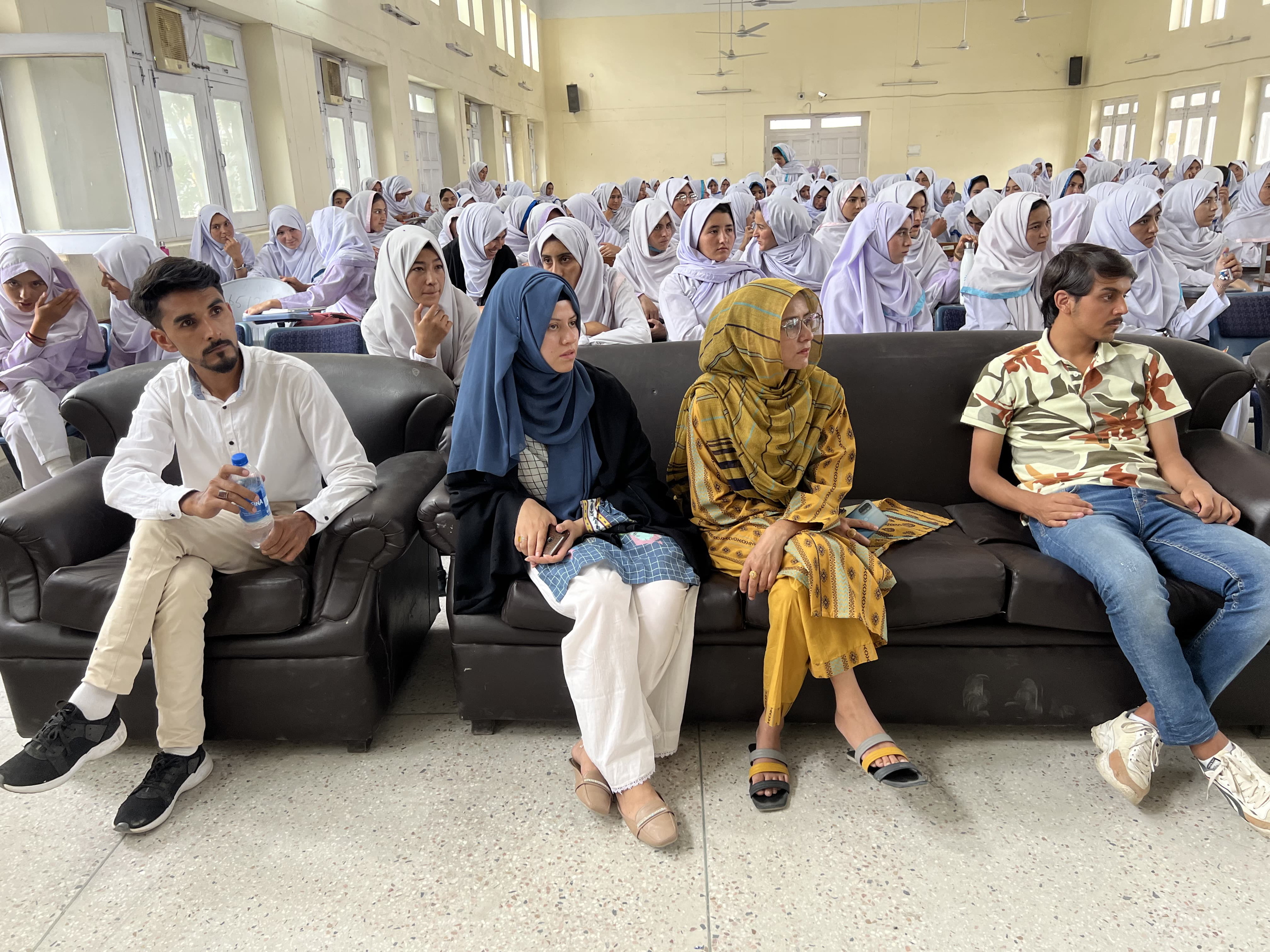
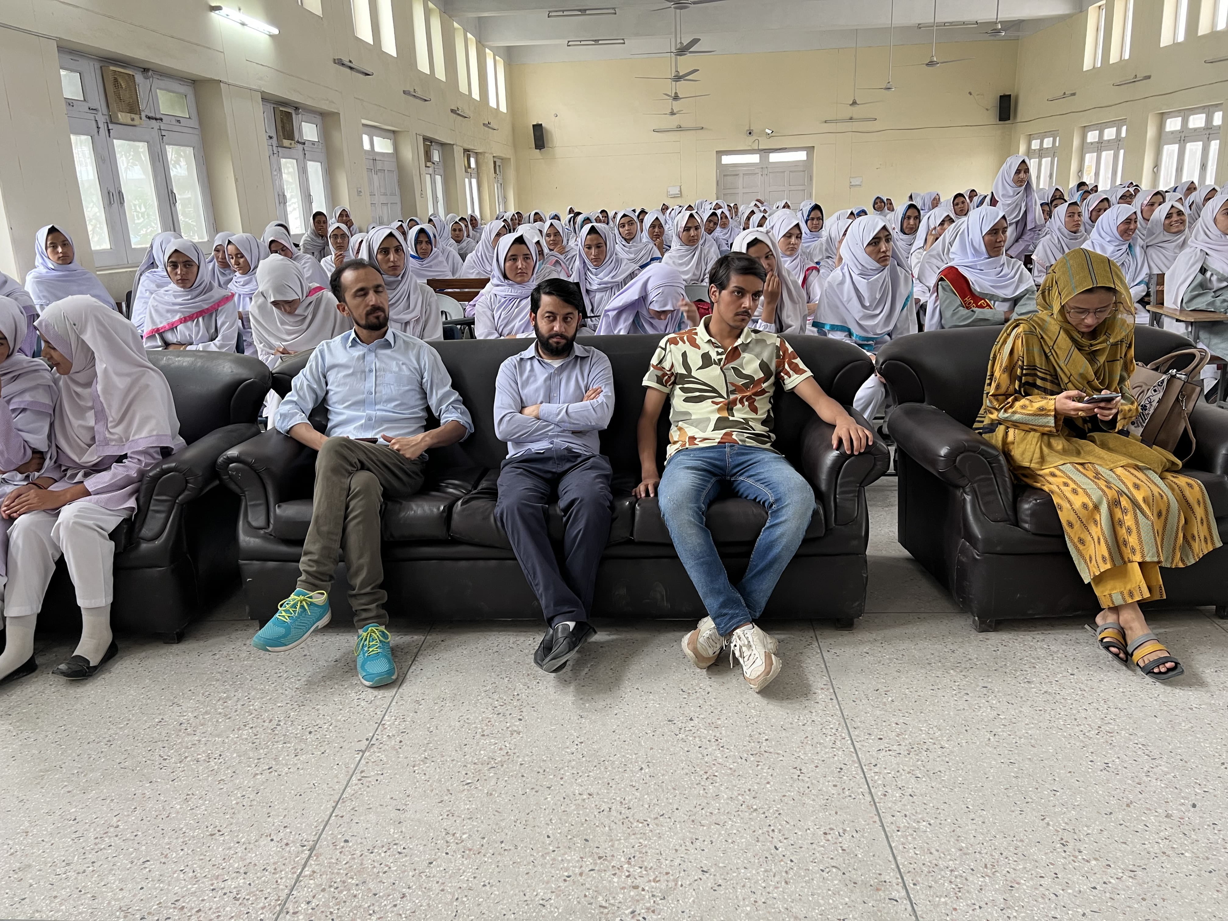
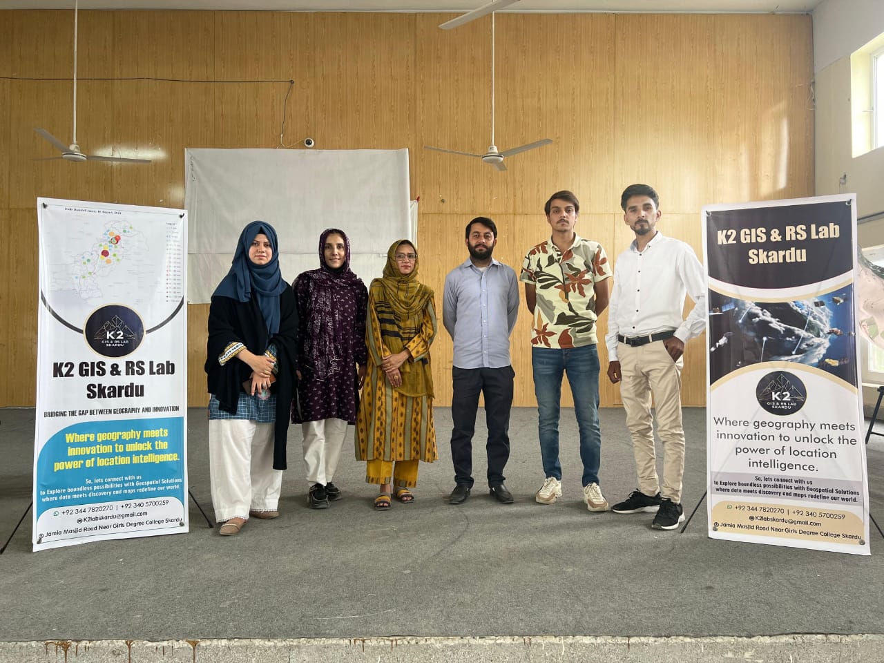
Unlock the Power of Spatial Insights with K2 GIS and Remote Sensing Lab, Skardu!
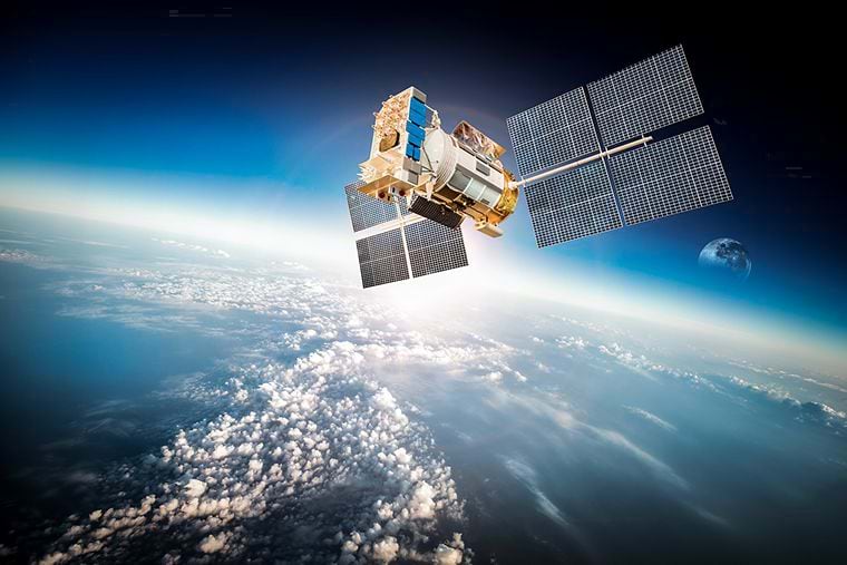
1. To utilize GIS and Remote Sensing for environmental monitoring and management in the Gilgit-Baltistan region.
2. To support sustainable development and natural resource management in the region.
3. To provide geospatial services for infrastructure development, urban planning, and disaster management.
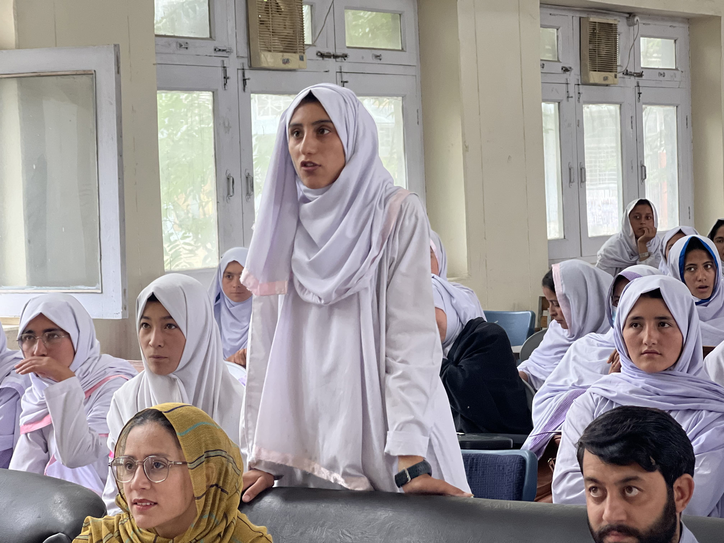
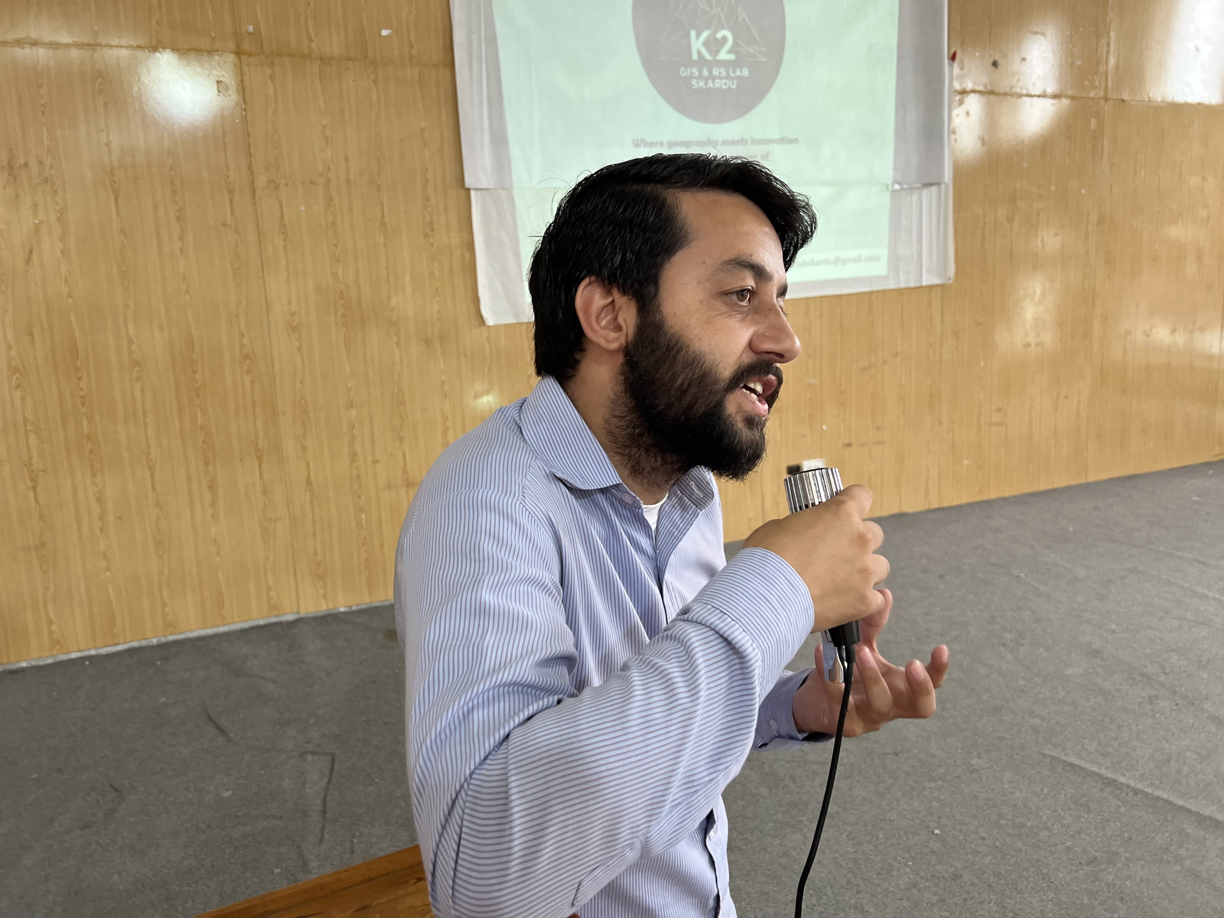
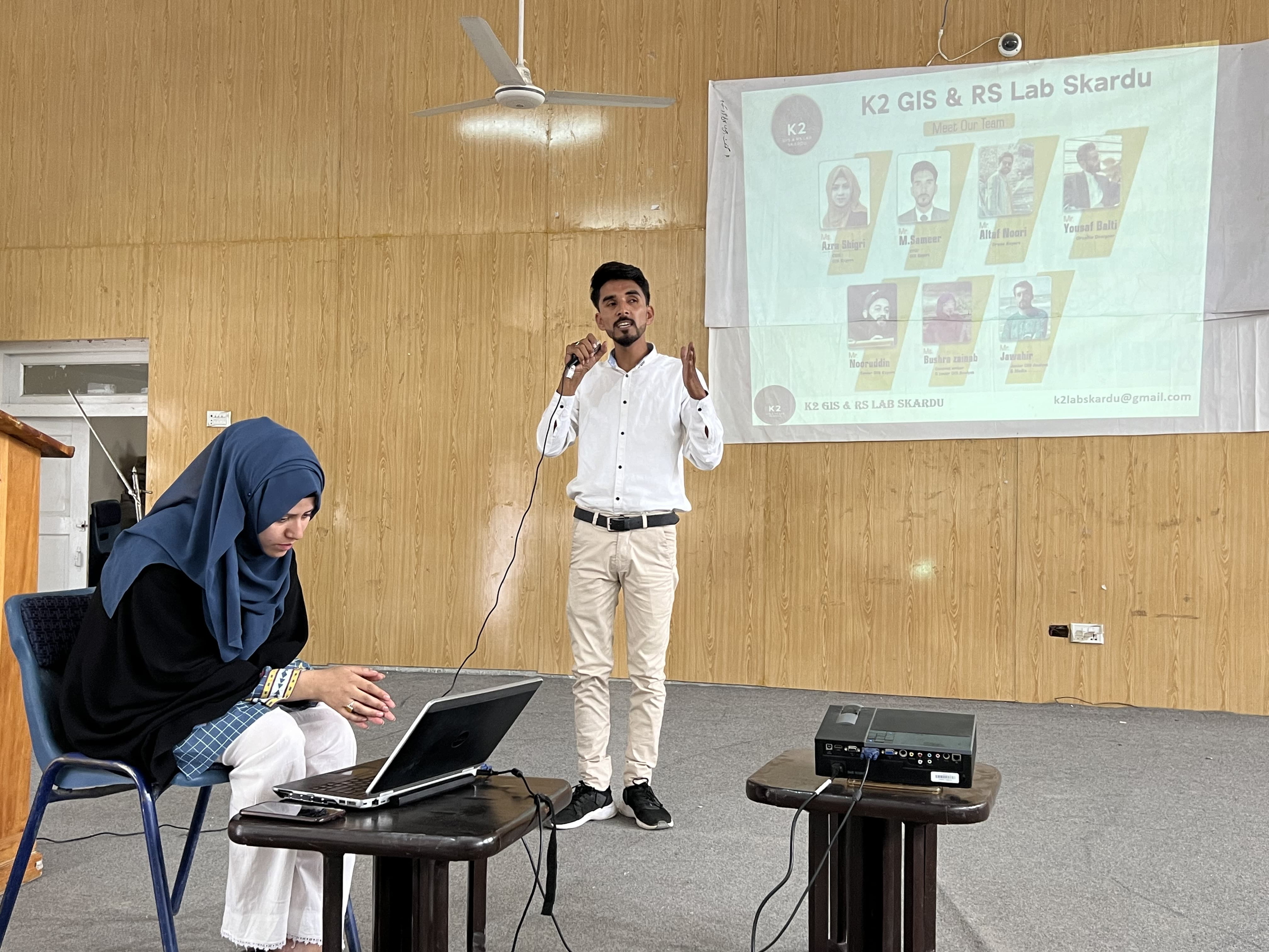
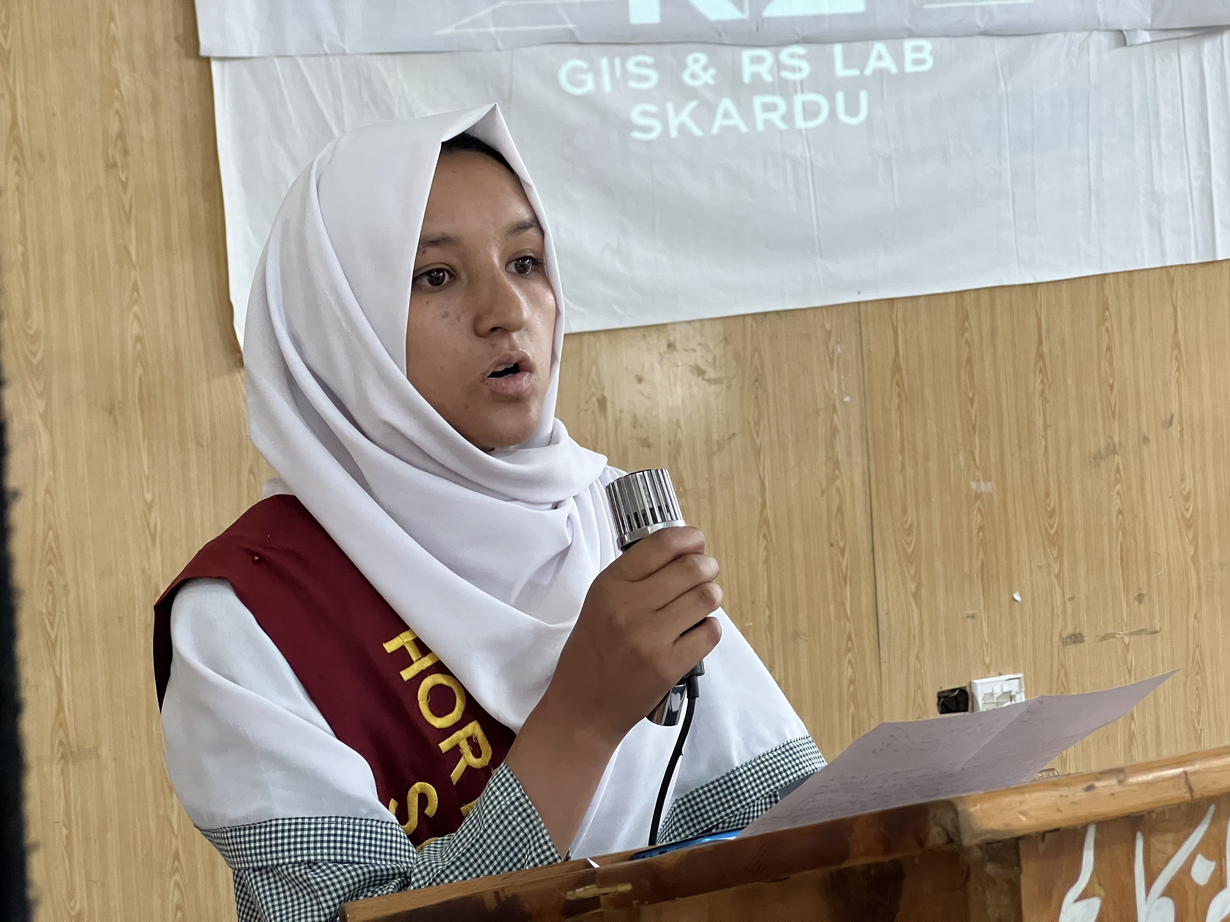
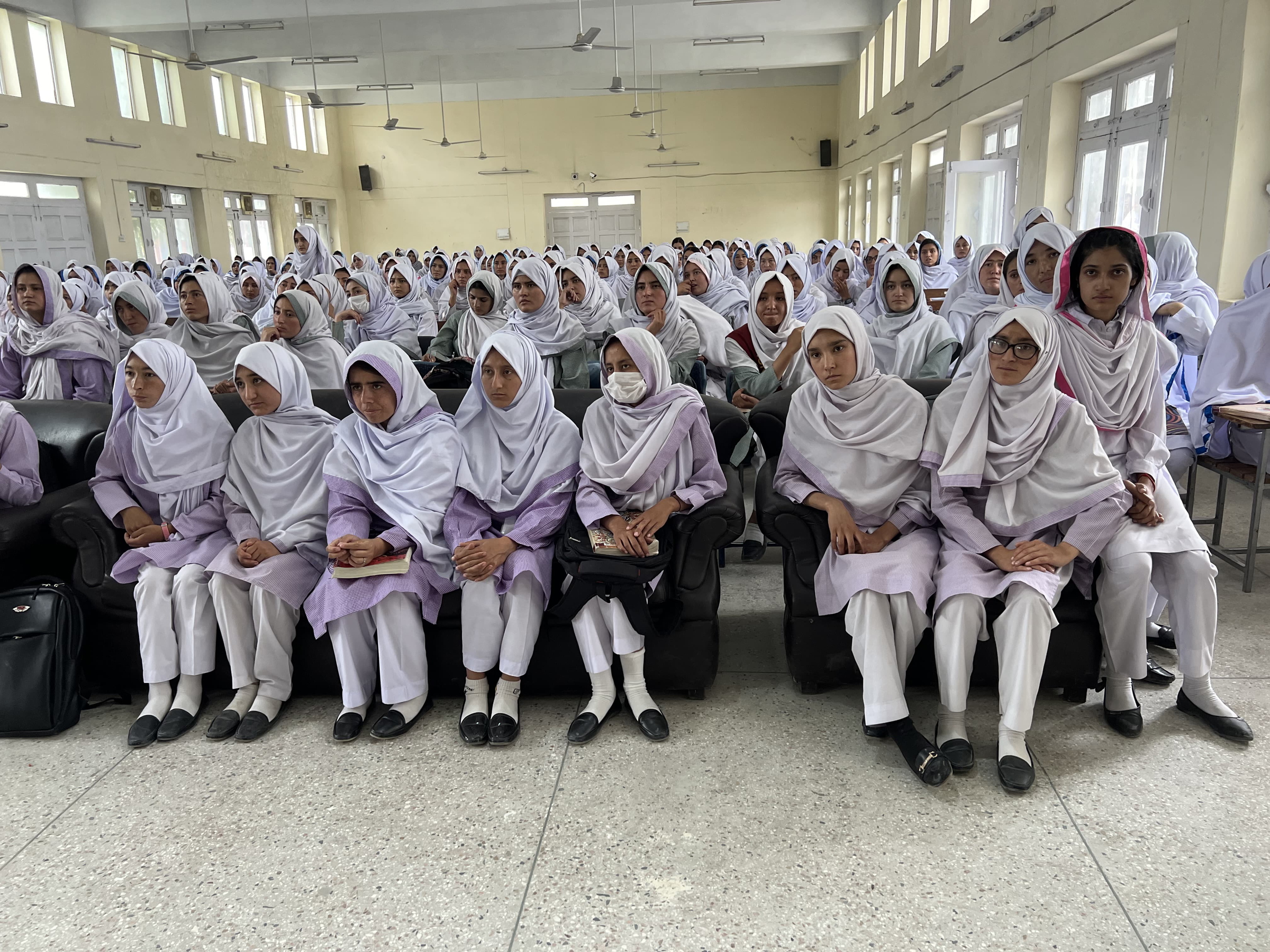
4. To build capacity and train local communities, students, and professionals in GIS and Remote Sensing.
5. To collaborate with local organizations, government agencies, and international partners for projects and initiatives.